
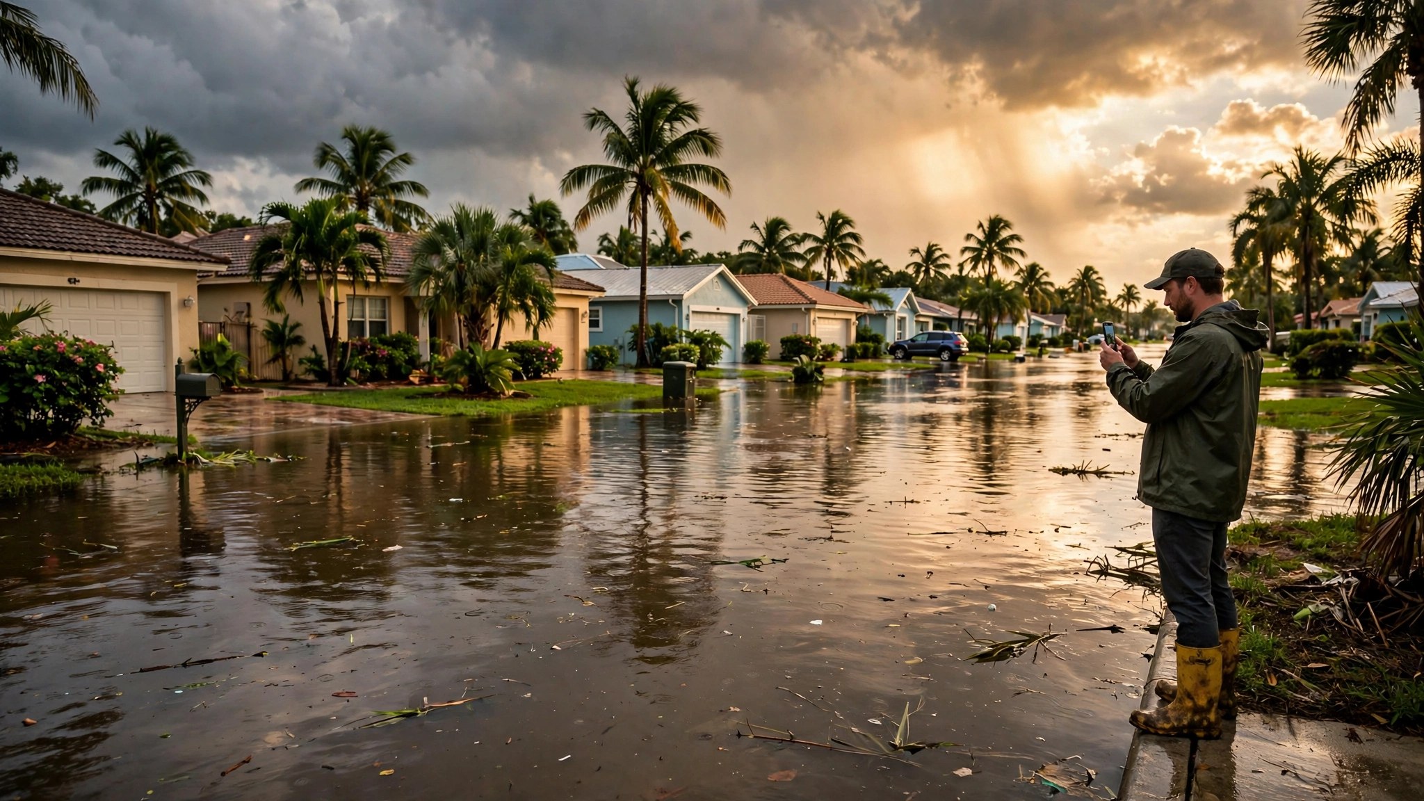
The rain that has been sitting over the Treasure Coast this week is the kind that finds every low road in Port St. Lucie and every weak drainage ditch in Vero Beach. The National Weather Service in Melbourne has the whole coast — Brevard, Indian River, St. Lucie, and Martin counties — under a Flood Watch from Tuesday afternoon through Friday at 7 p.m. Two of the tools residents are using to get through it were built right here, in completely different ways.
The app a neighbor built in a weekend
FloodMark started with a loss. After a friend’s vehicle was taken by local floodwaters, Port St. Lucie developer Richard Shillington built a navigation platform designed to help drivers avoid submerged roads — and, as Hometown News reported, he built it in 48 hours using an AI tool, which the paper identified as Muse.
The idea is deliberately simple. At floodmark.org, anyone can pin a flooded road or a stalled vehicle onto a live map, with the water’s depth. Drivers behind them see the pin before they reach the water. The reports also feed into the Waze for Cities program, so the same pins can inform the navigation apps people already use. In its first two days, FloodMark logged 72 active users and 116 page views. It is in public testing now — iPhone users through Apple’s TestFlight program, with an Android version since announced — while Shillington completes the company filings (Cruise Phone LLC) needed for the app stores.
The honest caveat: FloodMark is a brand-new, crowd-sourced tool in testing. Its pins are only as good as the neighbors posting them, and nobody official has vouched for its reliability. It is a supplement to official warnings, not a replacement for them.
The board that only trusts official data
The second tool takes the opposite approach. Treasure Coast Conditions — built and maintained by Web Ventures, the publisher of this newsroom — is a live board covering nine areas from Titusville and Cocoa Beach down through Vero Beach, Sebastian, Fort Pierce, and Port St. Lucie. It carries no user reports at all. Everything on it comes straight from official sources: National Weather Service alerts for each area, NOAA tide stations, USGS river gauges, and marine and beach conditions, refreshed automatically as those agencies publish.
Its flood-week feature is the least glamorous and maybe the most useful: a sandbag and flood-supply section that tracks where sandbags are being distributed, with the county emergency operations numbers — Indian River’s EOC at (772) 226-4000 and Brevard’s at (321) 637-6670 — because distribution sites open, close, and run out faster than any web page can be edited. The board is free and needs no account or download.
Two approaches, one gap each
Neither tool sees the whole picture. Crowd-sourced pins know your street but can be wrong, late, or missing. Official data is authoritative but cannot tell you the underpass two blocks away is already underwater. Used together, they cover each other: the board tells you what the agencies know is coming; the pins tell you what your neighbors are actually driving through.
That pairing is also, quietly, a story about where building things has gone. One of these tools is a county-scale data board maintained by a local company. The other was assembled by one resident, in one weekend, with an AI assistant — after the water took his friend’s car. Both are Treasure Coast answers to a Treasure Coast problem, and this week, both are getting used.
What we don’t know yet
- How FloodMark verifies or moderates its pins — the reporting so far does not describe a review process.
- How many Treasure Coast drivers are actually using either tool yet. FloodMark’s early numbers are small; the board does not publish its traffic.
- Whether any local agency will formally adopt crowd-sourced flood reports. The Waze for Cities feed is a step in that direction, not an adoption.
- Sandbag distribution changes by the hour during an event. Any list — including ours — can go stale; the EOC lines above are the source of truth.
Sources & Documents
- News reportHometown News — “Developer expands FloodMark app as public testing begins”
November 13, 2026. The original reporting on FloodMark, its builder, and its first two days of use.
- The appFloodMark
The live map. Public testing; iPhone via TestFlight, Android version announced by the developer.
- The boardTreasure Coast Conditions
Live NWS alerts, tides, and river gauges for nine areas, plus sandbag guidance. Built by Web Ventures — see the disclosure below.
- ProgramWaze for Cities
The program FloodMark’s reports feed into, per Hometown News.
Disclosure: Treasure Coast Conditions is built and maintained by Web Ventures, which also publishes this newsroom. FloodMark is independent and unaffiliated with Web Ventures. Neither tool replaces official National Weather Service or county emergency guidance.